Where AI Meets the Real World
Send us a message. Let's help you achieve better outcomes.
Plan, simulate, and execute complex drone missions with autonomous flight, real-time monitoring, and AI-powered insights.
Manual flight planning and operations are time-consuming, error-prone, and put pilots at risk.
Manual flying in complex environments increases accident risk.
Different pilots produce different quality results.
Detailed manual planning takes hours for each mission.
Keeping up with airspace regulations is complex.
Our comprehensive platform delivers all the tools you need in one integrated solution.
Drag & drop interface to plan complex flight paths and patterns.
Drones fly autonomously with obstacle avoidance and safety protocols.
Generate 3D maps and orthomosaics in real-time during flight.
Watch drone feeds and telemetry in real-time from anywhere.
Process drone imagery with AI for insights and measurements.
Built-in airspace checks and regulatory compliance documentation.
From setup to deployment, our streamlined workflow gets you running in days.
Define waypoints, altitude, and camera parameters.
Preview flight path and estimate time and battery usage.
Launch drone which flies autonomously to completion.
Process collected data and generate reports.
Define waypoints, altitude, and camera parameters.
Preview flight path and estimate time and battery usage.
Launch drone which flies autonomously to completion.
Process collected data and generate reports.
See the tangible results our solution delivers
Faster data collection with autonomous flight.
Advanced safety and fail-safe mechanisms.
AI-powered processing for precise measurements.
Efficient flight planning reduces fuel and time.
Our solution adapts to your unique requirements
Track construction progress with aerial footage and measurements.
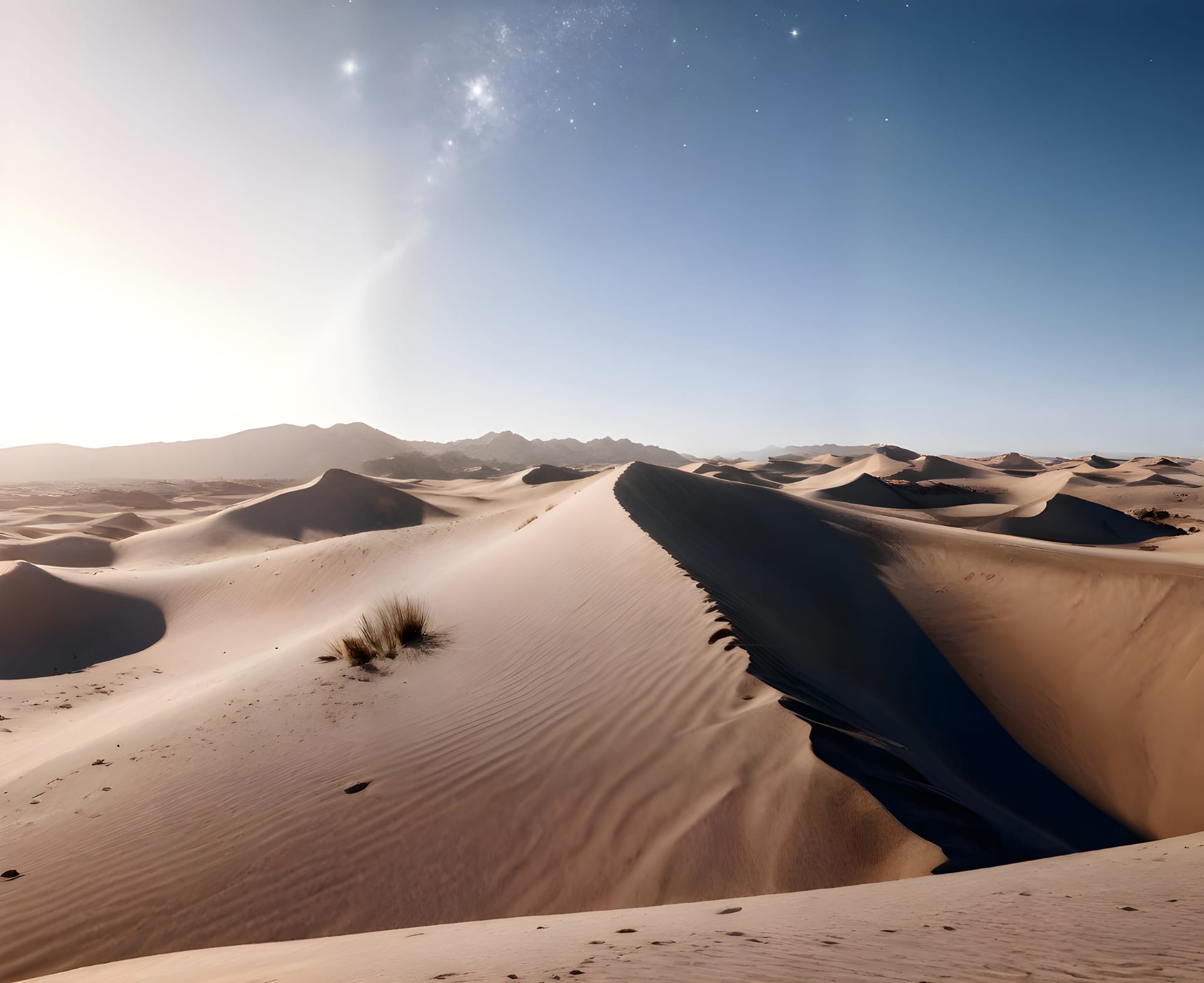
Learn morePlan and execute drone missions in any environment with terrain awareness.
Join 500+ enterprises automating drone missions for infrastructure and construction
Request a DemoSearch our knowledge base or browse popular topics below
Our drone systems deliver centimeter-level precision, ensuring every dataset is reliable and ready for engineering or compliance use. We use RTK GPS and ground control points to achieve survey-grade accuracy.
Yes, we operate nationwide with certified pilots and equipment positioned across all major regions including Riyadh, Jeddah, Dammam, and remote industrial areas. Our team can deploy within 24-48 hours.
We use proprietary computer vision models trained on millions of industrial images. Our AI detects PPE violations, safety hazards, and anomalies in real-time with sub-second response times.
Absolutely. Our platform is camera-agnostic and works with any IP camera, existing CCTV infrastructure, or new installations. Setup takes less than 30 minutes per camera with our plug-and-play solution.
Enterprise customers get 24/7 dedicated support with guaranteed 15-minute response times. All plans include onboarding, training, and access to our customer success team.