Qiddiya Entertainment City 3D Terrain Mapping
367 km² Area Mapped Complete
2 cm Accuracy LiDAR
-75% Survey Time vs Traditional
Project Overview
Project Overview
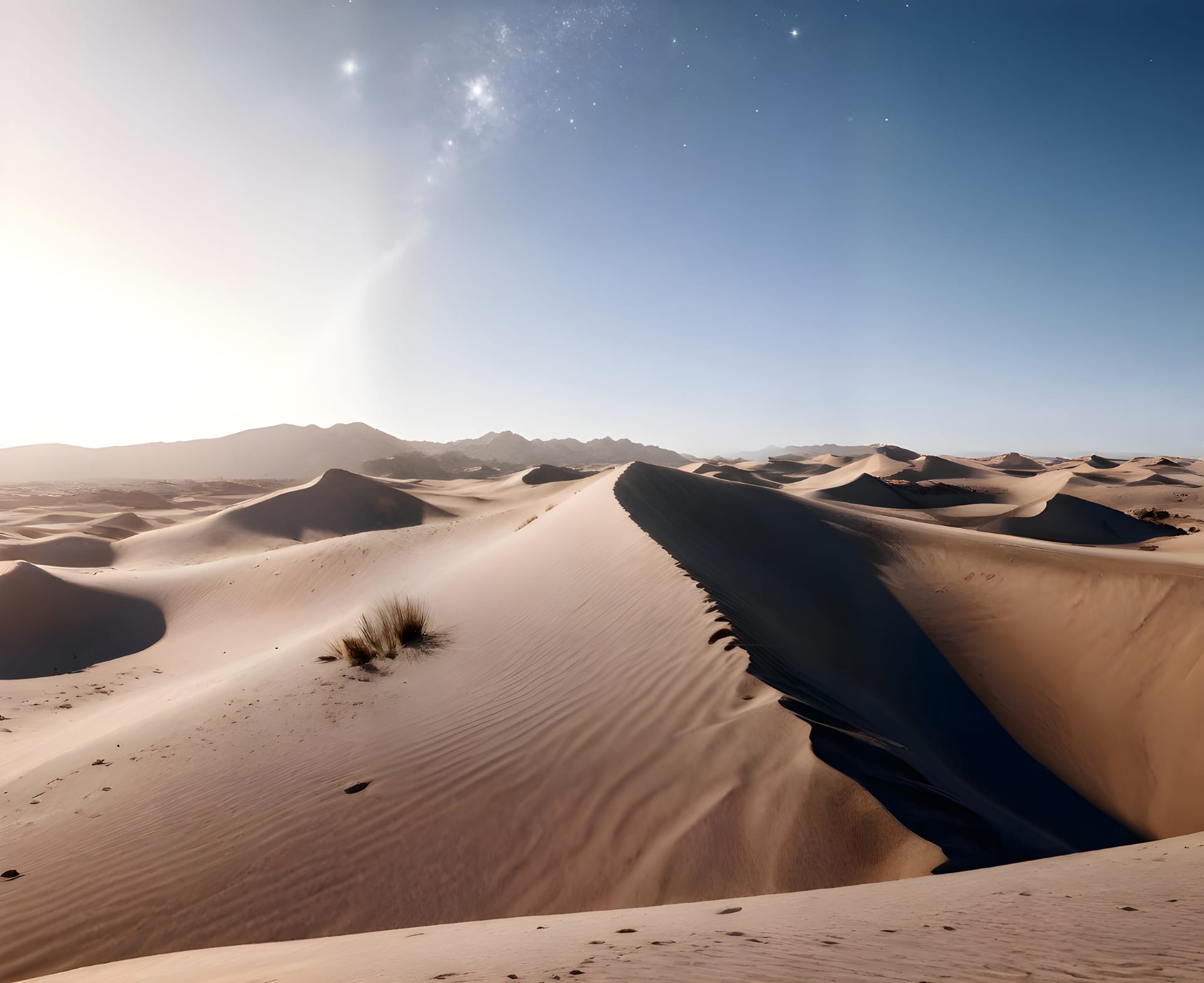
Qiddiya is Saudi Arabia’s entertainment mega-project spanning 367 km². We conducted comprehensive drone surveys to create detailed digital terrain models for development planning.
The Challenge
Planning theme parks, golf courses, and motorsport facilities requires precise terrain data. Traditional surveying would take years and lack the detail needed for complex attractions.
Our Solution
We deployed a large-scale drone mapping operation:
- LiDAR Scanning: High-density point cloud capture
- Photogrammetry: 4K aerial imagery for texturing
- Terrain Analysis: Slope, drainage, and cut/fill calculations
- 3D Modeling: Complete digital twin of the development site
Results
- 367 km² mapped with centimeter accuracy
- 75% faster than traditional surveying
- $5M savings in survey costs
- Complete DTM/DSM for all planning needs
Project Gallery


Project Journey
Project Timeline
November 2023
Flight Planning
Optimized flight paths for terrain coverage
January 2024
Data Capture
120+ drone flights over 8 weeks
March 2024
Model Delivery
Complete digital terrain model delivered
Results
Project Impact
Measurable outcomes and improvements delivered
367 km²
Area Mapped
Complete
2 cm
Accuracy
LiDAR
-75%
Survey Time
vs Traditional
FI Tech's drone mapping gave us unprecedented terrain data. The 3D models are essential for our theme park and resort planning.


Ready to Start Your Project?
Let's discuss how our drone and AI solutions can transform your operations